What to Do After a Car Accident in Helendale / Silver Lakes, CA
Helendale and Silver Lakes car accident guide: Route 66 hazards, BNSF railroad crossings, dust storms, wildlife encounters, and how to build your injury claim.
- By
- Victorville PI Resource Editorial Team
- Published
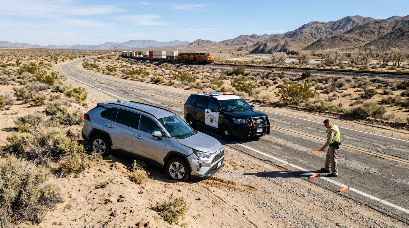
The communities of Helendale and Silver Lakes sit along the Mojave River corridor north of Victorville, connected by some of the most hazardous two-lane desert roads in San Bernardino County. National Trails Highway (Historic Route 66), Helendale Road, and Vista Road carry traffic through open desert terrain where the margin for error is razor thin. If you were just involved in a crash on one of these roads, understanding the unique hazards and jurisdictional realities of this corridor will directly affect the strength of your injury claim.
Why Helendale and Silver Lakes roads are uniquely hazardous
National Trails Highway — the historic Route 66 alignment between Victorville and Barstow — is the primary artery through Helendale. This two-lane highway runs through miles of open desert with narrow or completely unpaved shoulders, no center median barriers, and speed differentials that create deadly passing situations. Drivers attempting to pass slower vehicles cross into oncoming lanes on blind rises and curves.
Helendale Road and Vista Road serve as connectors between the Silver Lakes planned community and the highway system. These roads cut through flat desert terrain where wind-driven sand and dust storms reduce visibility to near zero without warning. The Mojave Desert wind corridor that runs through this area generates sudden whiteout conditions — and drivers who maintain highway speed through a dust storm cause chain-reaction pileups.
Open-range livestock and wildlife present an additional hazard that most urban drivers never encounter. Cattle, horses, burros, and large desert wildlife cross these unlit roads at dawn and dusk. Collisions with large animals at highway speed cause catastrophic vehicle damage and severe occupant injuries — and the liability analysis depends on whether the animal's owner failed to maintain proper fencing.
BNSF railroad crossings and multi-vehicle desert collisions
The BNSF Railway transcontinental corridor parallels National Trails Highway through Helendale, creating multiple at-grade railroad crossings. These crossings are among the most dangerous collision points in the area. Vehicles that stop or stall on the tracks, drivers who attempt to beat approaching trains, and obscured crossing signals all generate crashes with catastrophic consequences.
Railroad crossing collisions involve a distinct liability framework. If defective crossing gates, obscured warning signals, or inadequate sight lines contributed to the crash, the railroad company may share liability alongside any at-fault driver. These cases require rapid evidence preservation because railroad companies dispatch their own investigators to the scene within hours and control access to signal maintenance records and crossing inspection logs.
Multi-vehicle collisions on National Trails Highway follow a different pattern. When one vehicle crosses the center line during an unsafe passing attempt, the resulting head-on collision frequently pushes wreckage into following traffic, creating a chain-reaction event involving three or more vehicles. Each driver's insurance company argues that another driver bears primary fault — and untangling the comparative negligence percentages requires the CHP collision reconstruction report and often an independent accident reconstructionist.
Emergency response along the Mojave River corridor
Emergency medical response to the Helendale corridor is dispatched from San Bernardino County Fire Station 4 (Helendale). This station covers a vast geographic area along the river corridor, and response times to crash scenes on the outer reaches of National Trails Highway can exceed 20 minutes.
All serious injury collisions on state highways and county roads in unincorporated Helendale are investigated by the CHP Victorville Area Office. The CHP generates the official Traffic Collision Report (CHP 555) that serves as the foundation of your injury claim. Request this report within 10 days of your crash.
Severe trauma victims are transported south to Providence St. Mary Medical Center in Apple Valley — the nearest facility equipped for emergency surgery and critical care. Transport times from the northern reaches of Helendale can exceed 30 minutes by ground ambulance, and critical patients may require air ambulance medevac to Arrowhead Regional Medical Center or Loma Linda University Medical Center for Level I or Level II trauma care.
California civil liability for dangerous roadway conditions
When a crash is caused or worsened by a dangerous roadway condition — missing signage, eroded shoulders, obscured sight lines, or defective drainage that creates standing water on the road surface — the government entity responsible for maintaining that road may share liability.
On state highways like National Trails Highway, Caltrans District 8 (opens in new tab) bears maintenance responsibility. On county roads like Helendale Road and Vista Road, San Bernardino County is the responsible entity. Filing a claim against a government entity triggers strict procedural requirements under the California Government Tort Claims Act: you must file a written notice of claim within six months of the incident, and the claim must identify the specific dangerous condition, the date, and the injuries sustained.
Missing this six-month deadline can permanently bar your claim against the government entity — even if the dangerous road condition was the primary cause of the crash. This deadline is half the standard two-year personal injury statute of limitations and catches many crash victims off guard.
Building your claim after a Helendale area crash
Evidence disappears quickly in the desert. Wind erases skid marks within days, sand covers debris fields, and the lack of traffic cameras or commercial surveillance systems means there may be no recorded footage of the collision. If you are physically able, photograph everything at the scene: vehicle positions, road conditions, shoulder conditions, any missing or damaged signage, and the weather/visibility at the time of the crash.
If a dust storm contributed to the crash, document the conditions immediately — Caltrans road condition alerts and National Weather Service wind advisories provide time-stamped evidence that can defeat the insurance company's attempt to blame you for driving in poor visibility.
A Victorville car accident lawyer familiar with rural High Desert collisions understands the unique challenges of Mojave corridor crashes. The legal framework for building a claim in Helendale follows the same principles that apply to crashes along the I-15 through Barstow and on Victorville's major intersections — but the evidence window is shorter and the geographic isolation makes early action essential.
This resource is independent and free to use. It is not a law firm and does not provide legal advice. For advice about your specific situation, speak with a qualified attorney.